


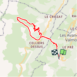

18,1 km | 34 km-effort


Usuario


Aplicación GPS de excursión GRATIS
 SityTrail
IGN / Institutos geográficos
SityTrail World
El mundo es suyo
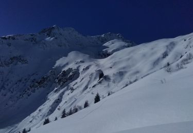
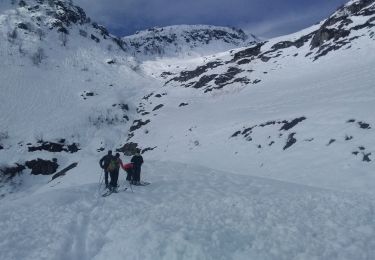
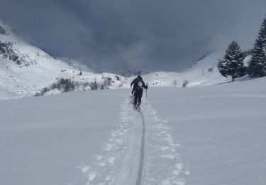
Ruta Senderismo de 17,5 km a descubrir en Auvergne-Rhône-Alpes, Saboya, Les Avanchers-Valmorel. Esta ruta ha sido propuesta por xtof_ts.
Déduire environ 300 de dénivelé positif et 1.4 km pour le télésiège (attention, pas ouvert tous les jours en été).

Senderismo

Esquí de fondo

Esquí de fondo
Esquí de fondo
Esquí de fondo
Esquí de fondo
Esquí de fondo
Esquí de fondo
Esquí de fondo